INTRAMAPS
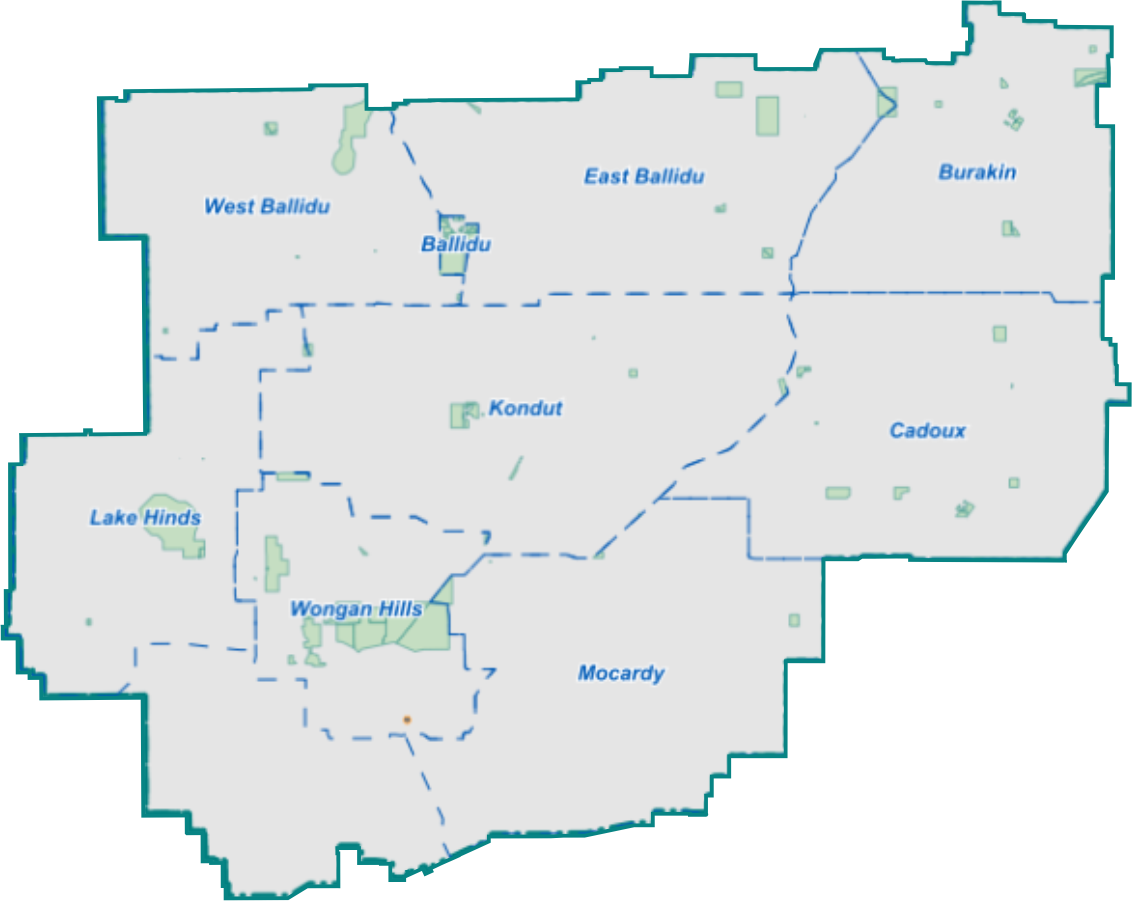
The Shire of Wongan-Ballidu now utilises IntraMaps, an online mapping tool that enables users to view different types of planning and zoning information from one platform. Aerial photographs can be viewed and users are able to explore local topographical information. Users are also able to search a particular property and detailed information will be provided instantly.
Launch IntraMaps
Data provided in IntraMaps
The Shire utilises IntraMaps for:
- Information about property addresses, land contours, zoning, land area, heritage sites, street and lot numbers
- Future planning for infrastructure, environmental management, events and Ranger services
- Processing development and compliance issues
- Identifying land for processing rate information and investigating insurance claims
- Community facilities
- Waste collection days
- Parks and reserves
- Topography
Assessibiity Disclaimer
IntraMaps is provided by a third party. The Shire regrets it cannot guarantee the accessibility of this application.
Selection tool
Allows you to select properties and display information in the information panel.

Zoom tool
Allows you to zoom in and out as well as step backwards, forward and between zooms.

Pan tool
Allows you to pan across the map in all directions by clicking and dragging.

Measuring tool
Allows you to measure distances and area. Point and click where you wish to measure and double click to finish.

IntraMap Modules
The module drop down list allows a map module to be selected and displayed.
The modules available include:
- Property
- Aerial imagery
- Planning-Zoning
- Assets